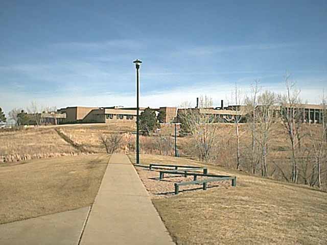
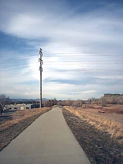
 Only a third of a mile from home - going roughly east. Passing through the park - Viele Lake (just to the right) and the rec center (to my left) - Fairview high school is straight ahead. I'll head up the hill on a sidewalk (you can only barely see) just past the second light post, in between the two big evergreens.
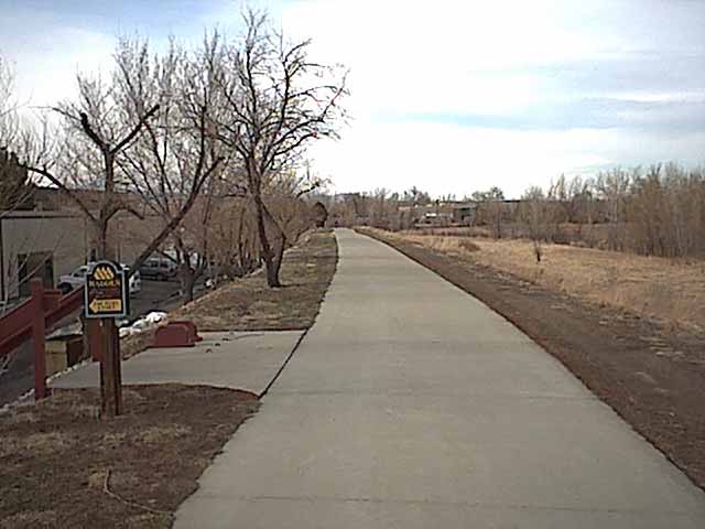
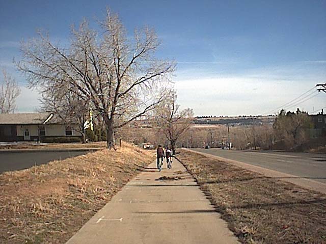 Just across Broadway, ~1 mile. I crossed the road and pulled in behind these two gals out and on a training ride. We are going south on the Broadway bike path (and into the wind). The path ends just ahead, dumping onto Marshall Road.
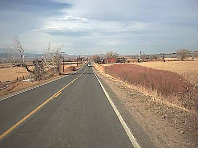
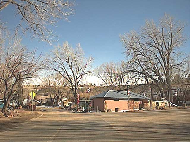 About 2.5 miles into the ride, crossing the "main intersection" in Marshall. Still on Marshall Road, going south.
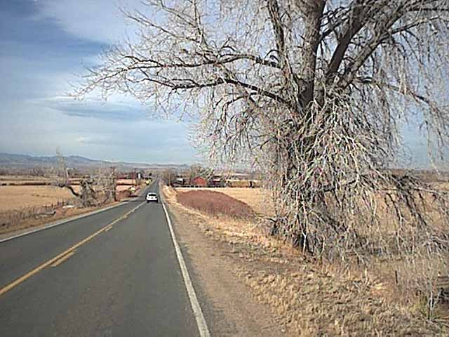
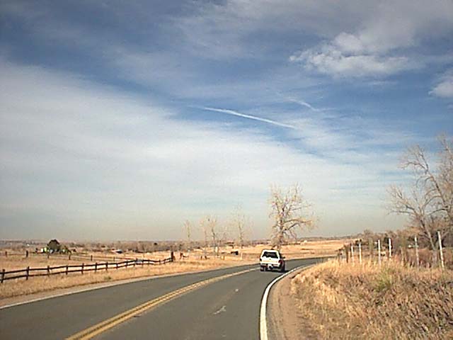 Through Marshall, and now heading east on Cherryvale Road, over one short climb and still into the wind.
 Looking north towards the Valmont Power Plant. The mountains are just out of sight to the left.
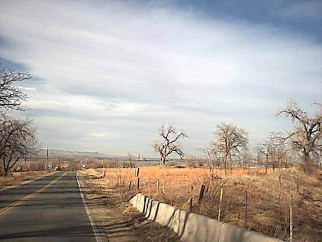 After a curve on Cherryvale, I'm heading north towards highway 36 (Boulder Denver Turnpike). Valmont Power Plant is straight ahead.
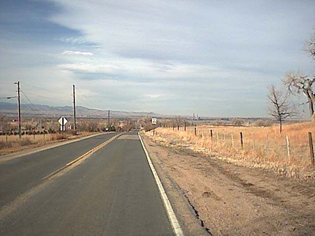 Same spot (same speed limit sign), about 4-5 miles into the ride.
 Crossing the turnpike, looking back west to Boulder and the mountains.
 The car that almost hit me while I was taking the last photo. (No sign of the gals ahead. Geez, ... I guess it's too early in the season for me to keep up.)
 Same spot, same car.
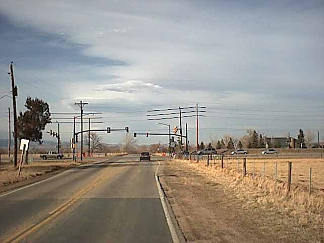 Go for it, man! Make that light (it's green)! ..... And I did, just barely, across South Boulder Road - Table Mesa Drive.
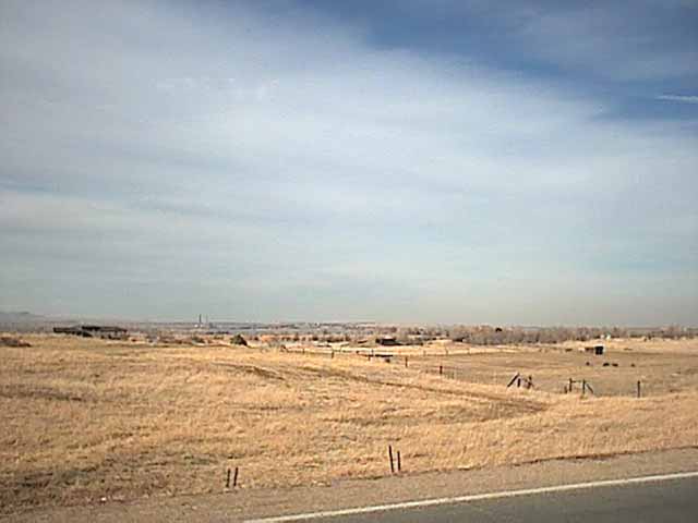
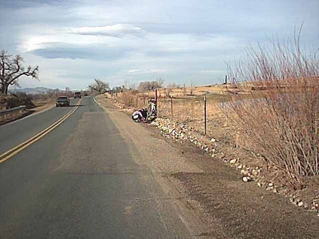
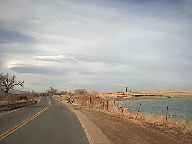 What's this? I'm passing Baseline reservoir (brrrr, the air is being chilled by the crosswind from my right), still on Cherryvale, going north, about 6 - 7 miles into the ride. See the Valmont power plant smokestack?
 Awwwww ... sorry, girls. Looks like I'm going to get there first. Glad to see you included a patch kit with your gear.
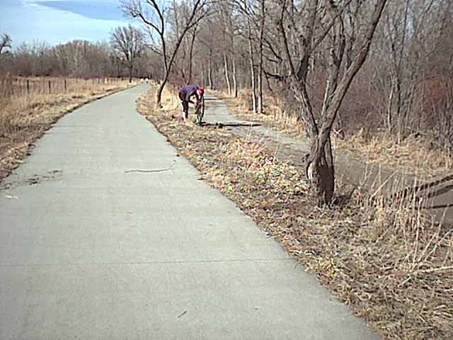 And what's this? Another flatter? This rarely happens to me. That's one of the reasons I like riding on my MTB (city) tires. This is a short section of bike trail (The Centennial Trail). I'm still heading north - 7 miles into the ride.
 That previous trail dumps into this side street. I'm only about .25 mile from Arapaho Road (that's it ahead, t-intersection). A friend, Danny, lives a block to the right with his wife and son. That's another cyclist coming towards me on the left - - - busy day.
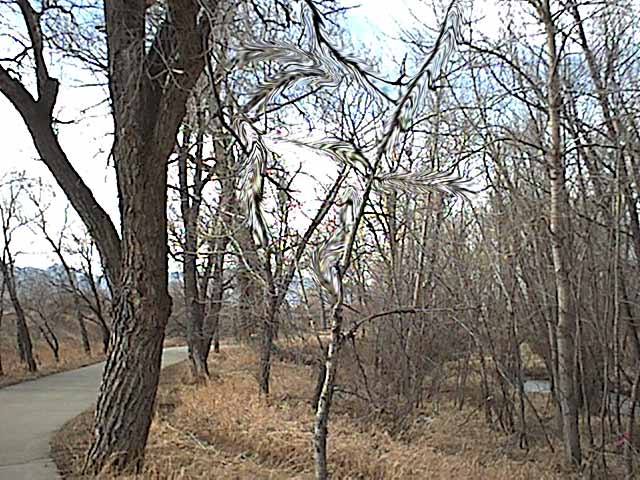 Across Arapaho now (via a bicycle underpass) and back off the road, on the very eastern extension of the Boulder Creek Path (about a mile further north yet). Hmmmmm ... Maybe I shouldn't have taken that last hit. The trees are weirdin' out on me.
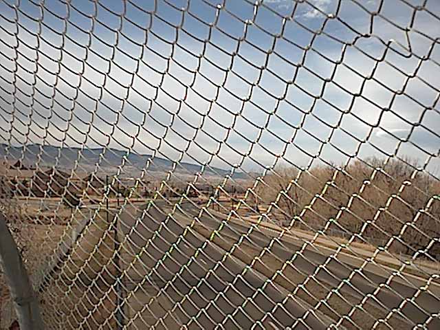
Still going north ... ~8 miles? I'm confused now, ... whatever. About a half mile to Boulder creek and then I'll veer left, back west and finally south. That's Saw Hill over on the right. It's one of the more prominent landmarks in east Boulder - on Valmont Rd.
 You can't read the sign, but that's a pointer to the Madden factory, directly below, in the industrial park (where I get all my panniers and packs). Those are bike racks, of a sort (two blocks of wood and a cable).
 Heading west now, along the creek path (paralleling Pearl Street East). I'm gonna run over one of them stupid, little prairie dogs one of these days.
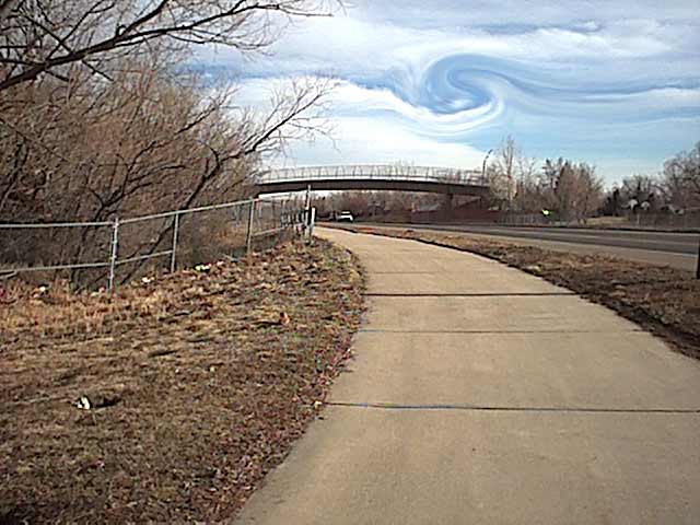
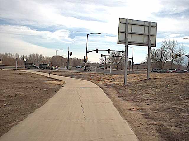 Having rode west along the Boulder Creek path (about a mile?), I have just turned back south along the Foothills Parkway. Bizarre atmospheric thing happening in the clouds there. That's the intersection with Arapaho. I'll head straight across to . . . .
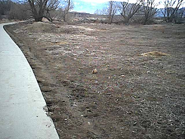
 Okay. I really better get going home. The weather looks like it's going to get pretty weird. Either that or the star ship Enterprise is about to materialize. See the little prairie dog (left)? I'll cross Foothills (once called 47th Street) on that ped bridge ahead.
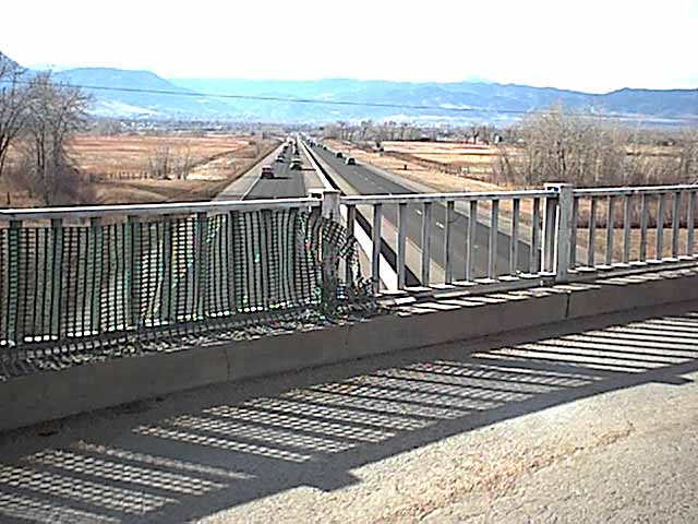
 Looking back from the middle of the bridge. I often stop here for a moment, but I better keep going today before those weird clouds swallow me up.
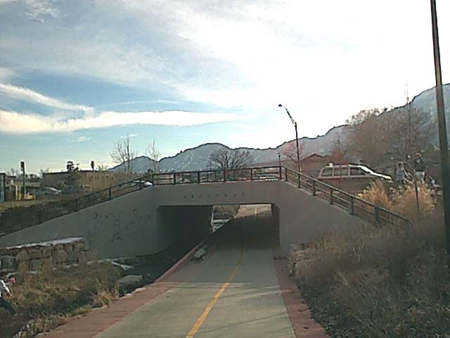 Only two shots left in the camera, so I thought I better save one so you can see this. This is the Broadway underpass at Bear Creek - just north of the intersection of Table Mesa and Broadway - very nice addition to my cycling routes. I can get almost anywhere without spending much of any time on the road (as this ride somewhat demonstrates).
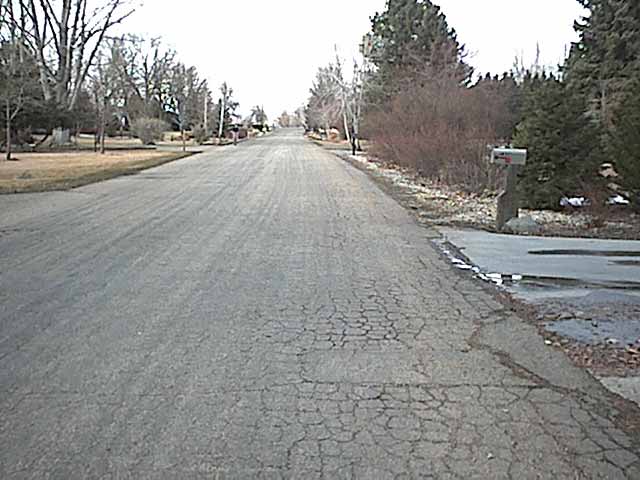
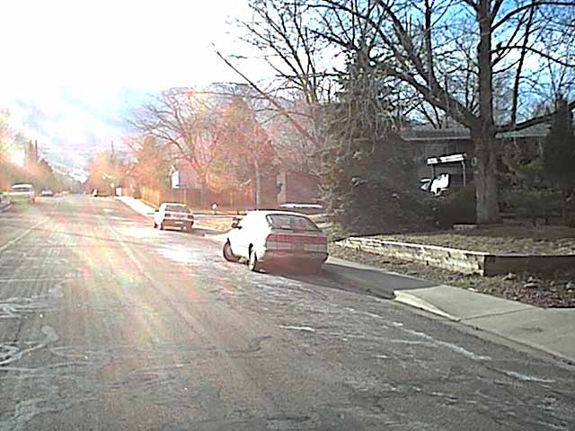 The "Home" stretch. It would be nice to wind down at the end of the my rides, but I haven't had that luxury in 20 years.